
Printable Altitude Reference Chart
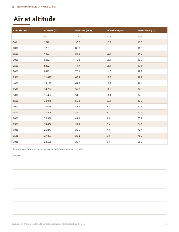
This one-page reference chart is for hikers, travelers, pilots, and anyone planning time at higher elevations. It lists air at altitude in columns for Altitude (m), Altitude (ft), Pressure (kPa), Effective O₂ (%), and Water boils (°C). Rows include sample values such as 0, 500, and 1000 meters, with both metric and imperial measurements. It also notes that the figures follow the International Standard Atmosphere and that actual values vary with weather.
Free printable · PDF
- 1 page
- US Letter — choose “Fit to page” for A4
- PDF, 74 KB
Free for personal, family and classroom use.
Use it to compare how altitude changes air pressure, oxygen availability, and boiling temperature before a trip or activity. Keep it with your packing notes, use it when choosing gear, or print it for quick checks during route planning. The layout is simple and easy to read on one Letter page.
Good for
- Check oxygen changes at common elevations
- Plan cooking times at high altitude
- Compare metric and feet altitude values
Tip: Print on cardstock if you want a sturdier reference sheet for field use.
4 files · PDF, XLSX, DOCX
Get every sheet: High-Altitude Travel & Activity Planner
This sheet plus 3 more in one download, with the editable Excel and Word files. Printable altitude reference chart (pressure, oxygen, boiling point), an acclimatisation itinerary planner, a high-altitude packing checklist and a hike elevation log.
$4.00 USD, one-time 4 files · about $1.00 each
- Instant download
- 7-day refund
- Secure checkout by Stripe
7-day money-back guarantee. Full refund within 7 days of purchase, even after you download.
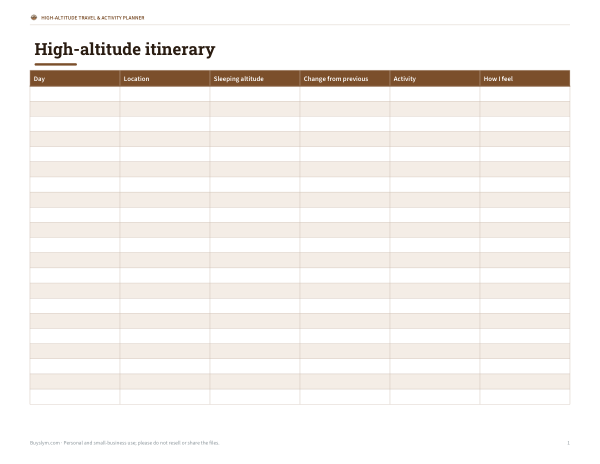 Printable Acclimatisation Planner
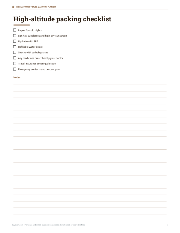 Printable High-Altitude Packing Checklist
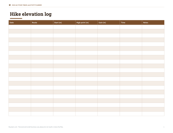 Printable Hike Elevation Log