
Printable Acclimatisation Planner
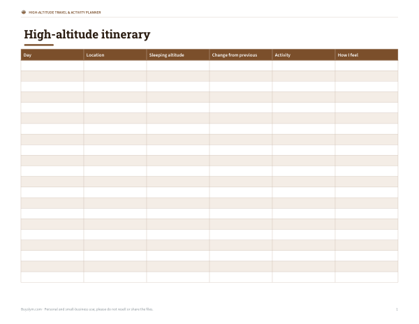
This acclimatisation planner is for travelers, hikers, and trip leaders planning time at higher elevations. It is a one-page letter landscape sheet with a high-altitude itinerary table. The columns are Day, Location, Sleeping altitude, Change from previous, Activity, and How I feel. It gives you a simple way to track where you sleep, how quickly altitude changes, and how each day affects you.
Free printable · PDF
- 1 page
- US Letter, landscape — choose “Fit to page” for A4
- PDF, 55 KB
Free for personal, family and classroom use.
Use one line for each day of the trip and fill it in before you travel or as plans change. Record the sleeping altitude and compare it with the previous night so you can spot bigger jumps. The activity and how I feel columns help you note rest days, exertion, and any signs that your plan may need slowing down.
Good for
- Track overnight altitude changes day by day
- Plan rest days during mountain travel
- Note symptoms or comfort at altitude
Tip: Print in landscape orientation and fill it in before packing so altitude changes are easier to spot.
4 files · PDF, XLSX, DOCX
Get every sheet: High-Altitude Travel & Activity Planner
This sheet plus 3 more in one download, with the editable Excel and Word files. Printable altitude reference chart (pressure, oxygen, boiling point), an acclimatisation itinerary planner, a high-altitude packing checklist and a hike elevation log.
$4.00 USD, one-time 4 files · about $1.00 each
- Instant download
- 7-day refund
- Secure checkout by Stripe
7-day money-back guarantee. Full refund within 7 days of purchase, even after you download.
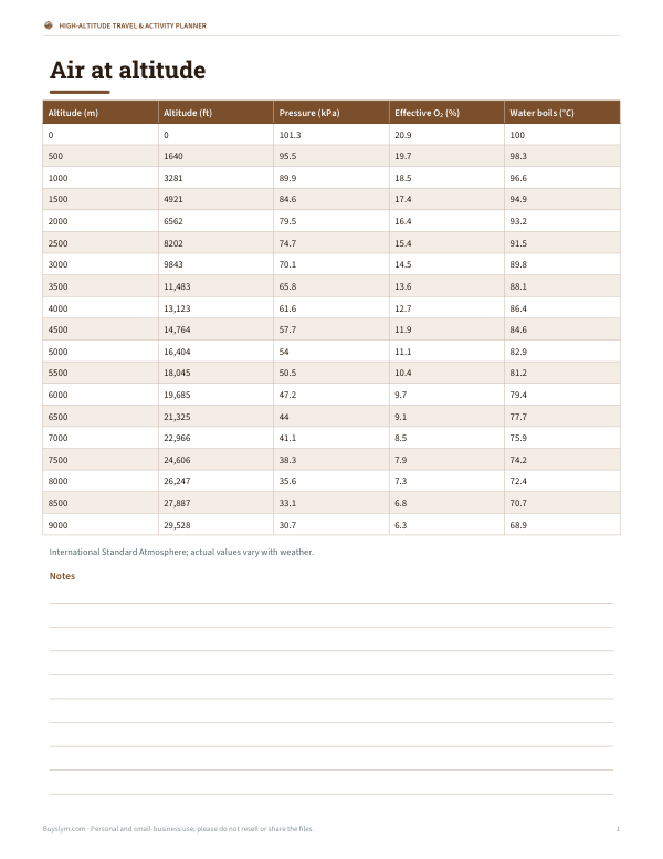 Printable Altitude Reference Chart
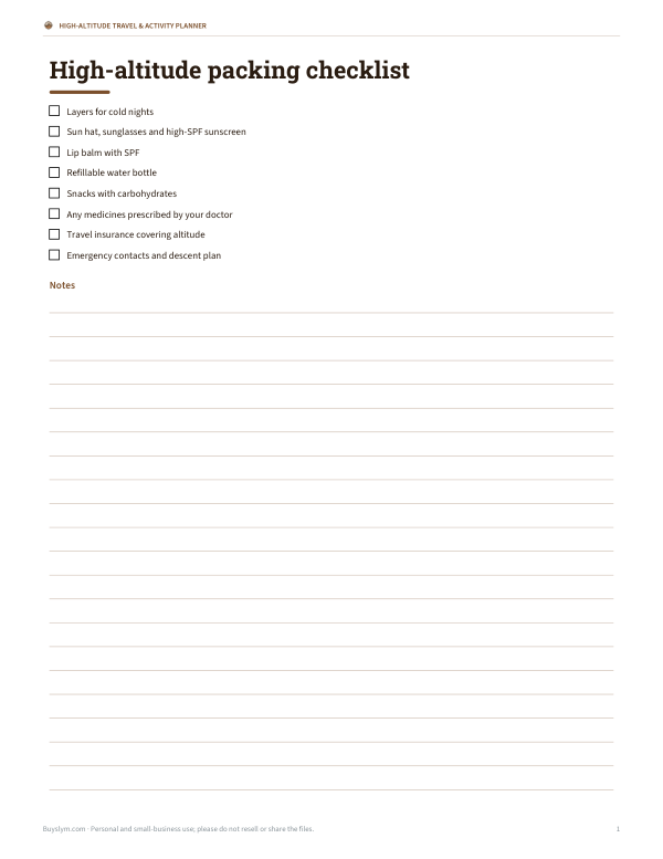 Printable High-Altitude Packing Checklist
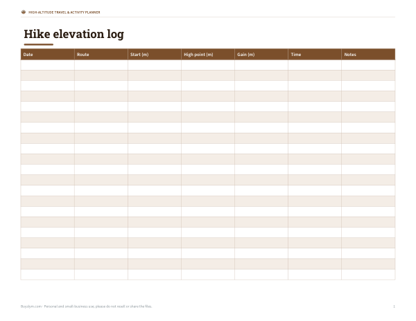 Printable Hike Elevation Log